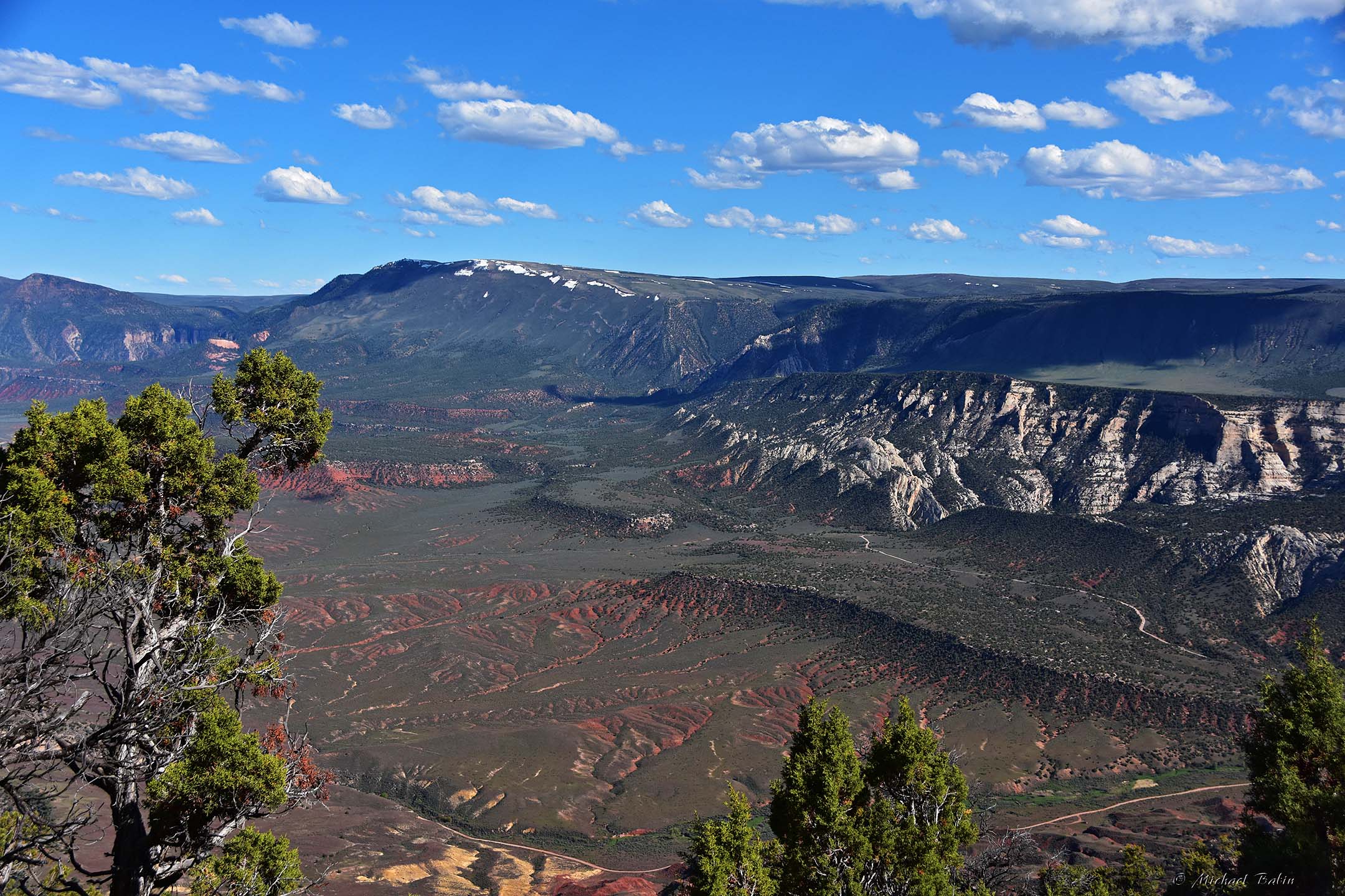
Our trip was
progressing well and we had some time before the night fell and covered
the land with darkness, so we decided to make
a turn and take a look at Harpers Corner, the last viewpoint and trail
at the East part of Dinosaur National Monument. We thought we had enough
time for a short hike to see Green
and Yampa rivers, the wild cliffs and crazy canyons.
This is a short and pleasant trail
(about 3 miles back and forth) that meanders between cliff edges. So you can see the Green River weaves around the rocks and
makes a couple of sharp turns (if you look at the satellite image, you can
see the Green river has an S-shape there). And the hiker is the only observer there,
almost like a hawk, flying high in the skies and watching the canyon floor from a great distance. The view from this viewpoint is unforgettable!
Actually, the confluence of the Green and Yampa rivers is not
visible from there... Moreover, the Yampa River is almost invisible. But
you can see the
Green river on both sides of the cliff.... before it draws the water
from Yampa river, and after that, the Green River now carries water all
the way down to the Colorado river.
The
Yampa River flows 250 miles through northwestern Colorado in
the United States. Rising in the Rocky Mountains, it is a tributary of
the Green River and a major part of the Colorado River system. The Yampa
is one of the few free-flowing rivers in the western United States,
with only a few small dams and diversions. The name is derived from the
Snake Indians word for the Perideridia plant, which has an edible root.
John C. Frémont was among the first to record the name 'Yampah' in
entries of his journal from 1843, as he found the plant was particularly
abundant in the watershed.
Unlike
Yampa, a relatively small and "one state" river, the Green river is
large and powerful. The Green River, located in the western United
States, is
the chief tributary of the Colorado River. The watershed of the river,
known as the Green River Basin, covers parts of Wyoming, Utah, and
Colorado. The Green River is 730 miles long, beginning in the Wind River
Mountains of Wyoming and flowing through Wyoming and Utah for most of
its course, except for 40 miles into western Colorado. Once the Green
river
meets the Colorado river, it continues bringing the waters down to
Arizona,
Mexico and ending up in the Pacific Ocean. Quite a run, huh?
And
there are a few big dams and reservoirs along this run (we will show
one later), miles of rocky canyons the river has eaten through millions
years of hard work. And... all these riversides and canyons
look just amazing. But why am I telling this if I can show - just take a
look...
PS but if you'd like to learn more about Green river - look here:
And finally our day ended in Vernal, the town of dinosaurs ;) Just 400 miles away from home...
Click here if you are interested to see how the same place looks like on gloomy, cloudy and foggy day - Yampa and Green rivers
To be continued...
Pictures were taken on May 25, 2019.


No comments:
Post a Comment