About this blog:
We love traveling. We always capture tons of pictures from wherever we've been and we like sharing our traveling experiences with our friends. So, this is how this blog began - as short stories with pictures in an attempt to share where we've been and what we've seen. Even not stories , but just notes. Nothing serious and big. Mostly I'm writing these stories on a rush and sometimes even don't have time to re-read them. So, I apologize in advance for possible typos here and there. There can be some factual errors or inaccuracies and they even might be corrected one day. Don't hesitate to contact me if you find something that needs to be fixed and don't expect these notes to be a perfect novels ;) The stories in this blog are not in chronological order, but I will try to remember to put the date of the trip. So... welcome to this blog and, hopefully, you will find something interesting and have the same feeling we had when we were there. Let's go...
And... by the way... all pictures and texts in this blog are protected by International and USA Copyright laws, so if you'd like to repost or use something on your page - contact me first.
Using anything published here without permission is violation of the law and... it isn't really nice...

Thursday, June 29, 2023

Pine Creek Trail. Independence Day 2019 trip, part 3

 Click here to take a look at the previous stop - Buena Vista. Independence Day 2019 trip, part 2.

You know, always following the paved roads is boring and that's not exactly what we do. Taking the side roads and making unexpected turns is more our style and we planned to cross the Rockies using Cottonwood Pass, a nice and cool alternative to Monarch Pass, but to our surprise the pass was closed for some reasons. We were disappointed, of course, but we had a backup option, so we turned back, drove through Buena Vista in the opposite direction and took the Monarch Pass instead. This is the more common route but it is also a pleasant and nice way to cross the mountains so we had no complaints.


Soon enough we crossed the Continental Divide and found ourselves on the other side. An hour later we were driving along a winding road along the banks of the Blue Mesa Reservoir, the largest artificial lake located in the state of Colorado. We made a couple of short stops to enjoy the cliff’s views across the reservoir and finally stopped at the start of the Pine Creek Trail trailhead (our next planned stop and new adventure).


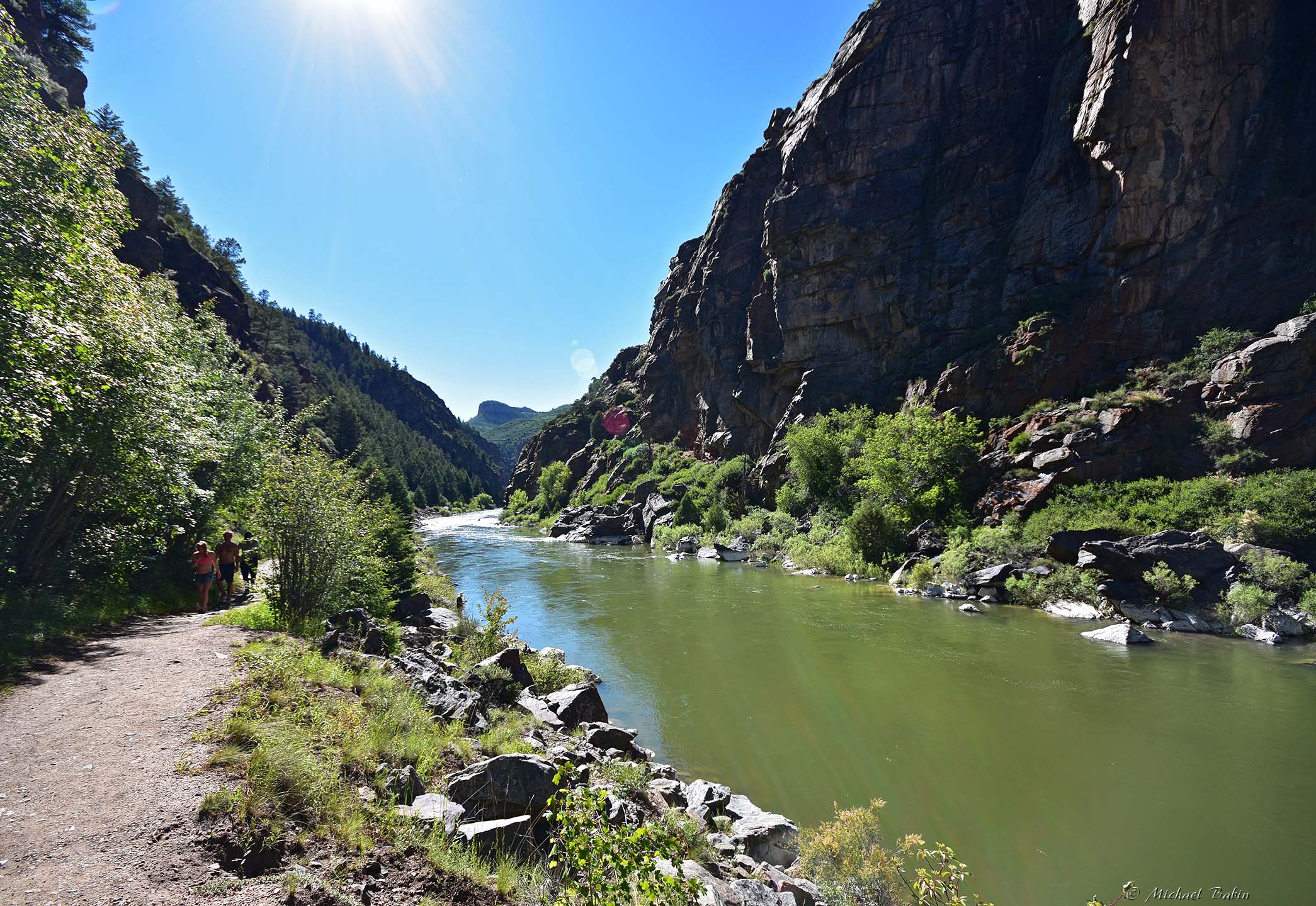
The trailhead is close to the dam, so the river flows quite fast here, but the canyon is not as deep as it gets further. The trailhead started halfway down the canyon and the trail was very steep. Or, better to say, would be very steep. But since they built a nice staircase, technically you don't need to hike, just use steps to descend 350 feet (~200 steps from what I heard) to get to the bottom of the canyon. 350 feet is about 35 floors and you have to remember that once you go down down, you have to climb up the same 35 floor later :)


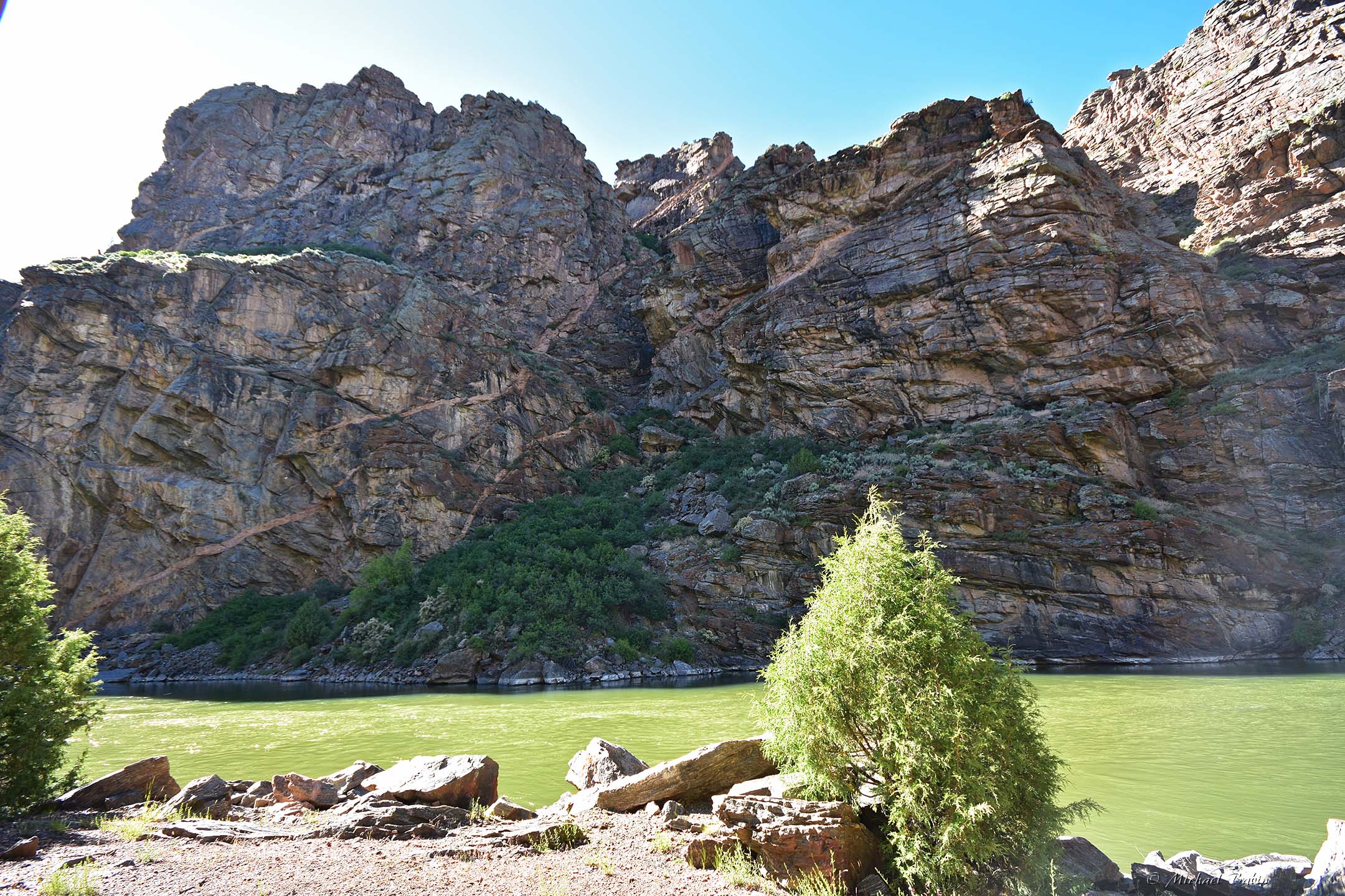
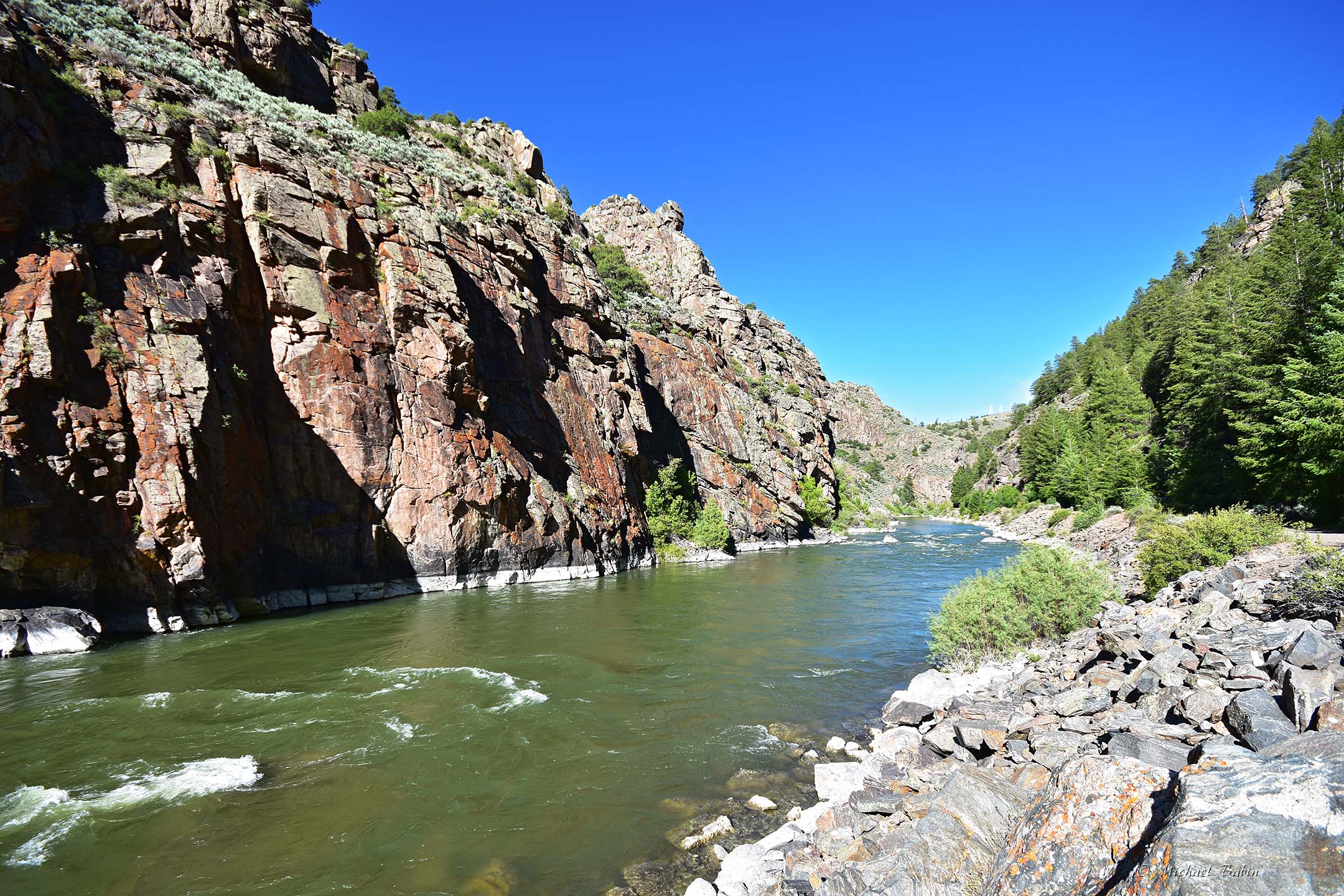
But once we got down, we were stunned... Walking at the canyon bed, with the river roaring right at your feet, was a great experience. Yes, the walls were not as steep as those in the Black Canyon of Gunnison down the river, but steep enough to be a bit claustrophobic.


And... then I finally understood why this place is called the Black Canyon. I was under the impression that "black" refers to the dark color of the rocks, but they actually call it black cuz the walls receive very little sunlight and remain in shade most of the time. In fact, the bed of the Black Canyon of Gunnison only receives about 30 minutes of sunlight every day (due to its depth and narrowness).
 

Here at the Pine Creek Trail, the shadows were not as deep, but we still walked in the shade most of the time, no complaints, although it was not as hot as we expected.


 But this hike was worth it. We stopped all the time to look at the cliffs, the rocks, the white water or talk to the fisherman, who bragged about his catch ;)


And... even though we planned for a relatively short hike, it was almost impossible to stop, as the trail went along a windy river and it was so interesting to discover what we would see after taking another turn ;)


But, in the end, we decided that enough was enough, and went back, as we still had some more plans for this day and had to follow the sun...


Click here to see our next stop (twice more beautiful than this amazing trail ;) ) - Sunset on the Black Canyon of Gunnison. Independence Day 2019 trip, part 4

Pictures were taken on July 04, 2019.

No comments:

Post a Comment